


The route follows some of the wildest countryside in Scotland, starting at Fort William and heading northwards. The trail is what you make of it - joining paths and tracks that head in the right direction - with a useful map from Harvey, in many segments long and narrow as you might imagine, and a book from Cicerone to provide some guidance.


The suggested paths lead north by joining up the glens, whereas I wanted more mountains. This gave my plan a focus - where possible follow the ridges and, as FWAs (foul weather alternatives) use the standard route. It also changed the timeframe. The whole journey can be done in 10 days or so, but the way I was planning it probably I would take more like 15 or 18 days.
As it happened my plan for May was thwarted and I found myself preparing to head off in October. Although the temperatures are similar in both months, later in the year the days are much shorter, and the expected rainfall is higher.
You can see the tracked route here.
Friday 6/10/2017 Glen Cona
It is nice to arrive at Fort William by train, and a short walk away is the pier for the ferry to Camusnagaul. I shared the 12:20 with a local who moved here from Somerset 46 years ago.


The far side is just a few minutes away, but quiet and remote. There's 10km or so of walking along a pleasant road before the turnoff to Glen Cona. Although not busy, traffic speeds along and you can sense the frustration of some of the drivers about unusually distant destinations.


A strange fungus appeared out of the gravel in front of me.


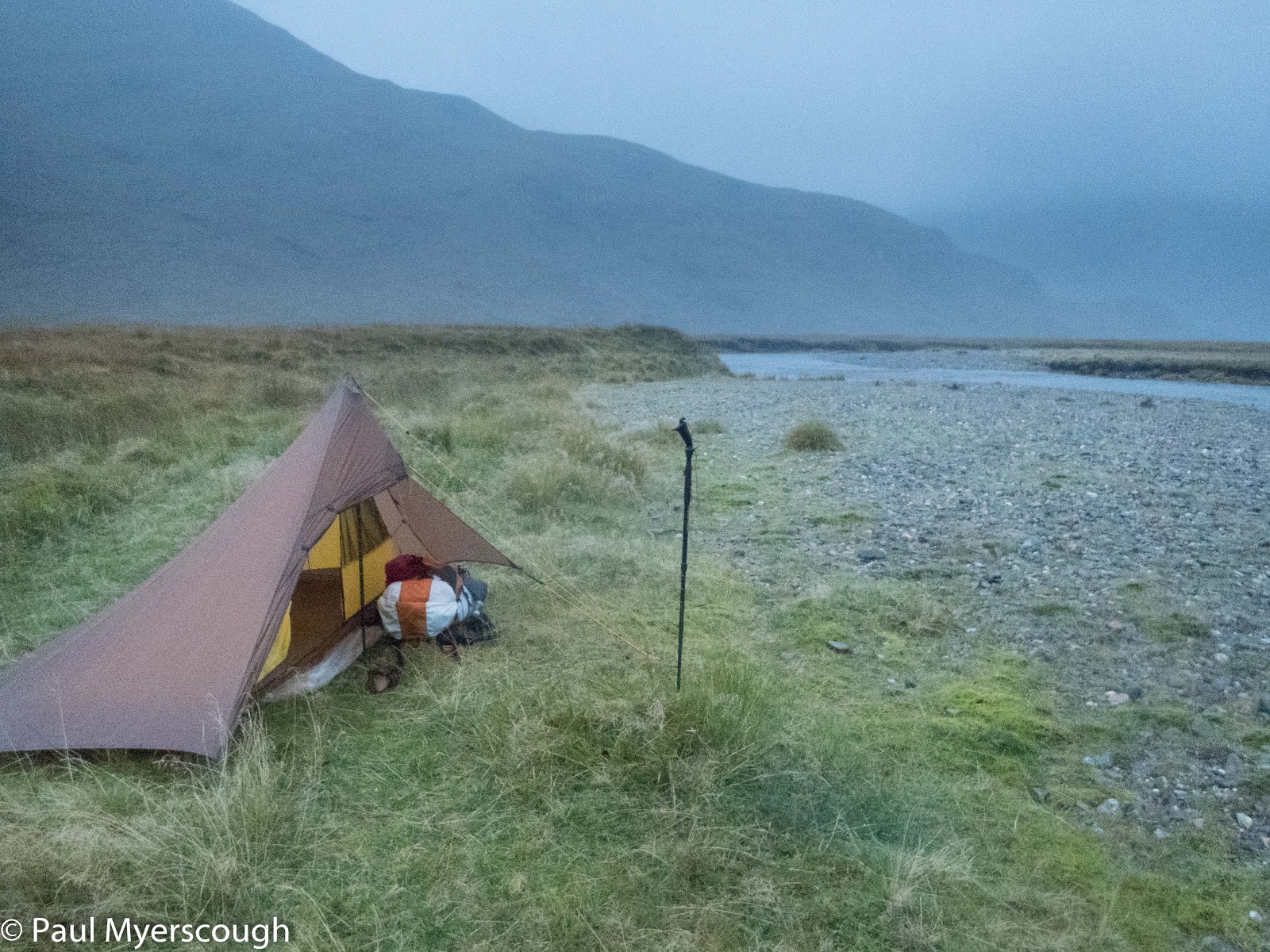
The valley was pleasant and green lower down - trimmed by coos - and seemed to offer good camping opportunities. Further up the ground was rougher and wetter. I stopped close to the river on ground I would not usually choose - wet but maybe not too wet, and rough but maybe not too rough. Heavy rain through the night fortunately drained away.
Saturday 7/10/2017 Cona, Glenfinnan, & Glan Pean
In the morning there was a chance for one last look up and down the glen before heading over the bealach towards Glenfinnan.


On Saturday lunchtime there were customers milling around the visitors' centre and tea room which seems to be open all year around. Few ventured beyond the viaduct however and I soon had the hills to myself and the bellowing deer.


As the road turns to track leading to the lodge, there is a small bothy - the first one I have seen with electricity in evidence.
The route now heads north east over a bealach towards Glendessery. I stayed low when I reached the turn-off to the ridge planned for my 'high' route. The weather was poor, and the cloud low.
At the top I found a couple having a brew out if the wind. It was already 5 o'clock and they surprised me by their plan to walk a further 10km to a bothy.
Navigating the route down is not difficult, but without much visible path underfoot it was slow going on the saturated ground. By 6pm I was ready to camp knowing I had 30 minutes or so before nightfall when it would become too difficult to identify level and dry land.


Sunday 8/10/2017 Glen Pean, Glendessary & Sourlies
In the morning I found the couple I had passed the night before camped close by.


Monday 9/10/2017 River Carnach, Barrisdale, Kinloch Hourn
I started by crossing the bridge 'at my own risk', a little surprised not to see a more permanent looking structure as I am sure many thousands come this way each year.


Before this last turn I leave the river head up to join a higher path, mostly well made and which leads north west to Barrisdale. I was last here on my first TGO Challenge - after the hurricane of 2012 - lots of rain, so this time I know it could be wetter!


The path along the loch from Barrisdale is where I had my full immersion in 2012. Conditions today were much better although the path was very wet in parts and not in the best condition. I began to think about camping, fearing an arrival at Kinloch Hourn in the dark with nowhere to stay.

Tuesday 10/10/2017
I knocked on the door in the morning, but again no answer, so I headed off down the path.


But after a short while the famous hospitality manifested itself. A room became available (noone else was staying), the Aga was lit and a bacon sandwich prepared, and the fire in the tea room was stoked up to dry my boots and wet gear.
It rained continuously. A rest day was in order.
Poor weather, Paul, but some stunning photographs.
ReplyDeleteIt sounds like hard graft, and that's sitting here in the warm!
I particularly like your picture of Ben Aden from the bealach. It brought back our (mis)adventures on the Challenge a few years back.
I'm looking forward to Part 2, Sir.
:-)
Yes, that was probably the year of my first Challenge when you started off in Morar too I believe. I was tucked up in my Trailstar at the top of the lochan in the left of the picture during the night of the hurricane force winds. I'm not sure where you were ...
Delete