You can pull the route map for this walk around inside the box below and zoom in and out.
Usually a click on a picture will zoom it to full screen, and there is a link to more pictures of this walk at the bottom of the post.
 |
| Loch Torridon |
To reach Torridon from The South
we go by night train from London disembarking at Inverness on the east coast.
Here a regular train crosses Scotland to Strathcarron on the west in a bit less
than two hours. Once a day a small bus completes the journey north travelling around the
coast for an hour.
 |
| Torridon YH |
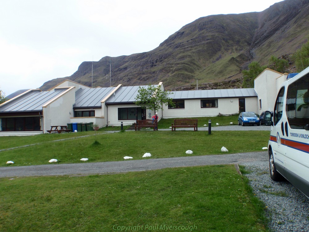
Fine accommodation is provided by the Youth Hostel
which is also the base for the local Mountain Rescue organisation. The free camp-site next door has access to public toilets with hot water and a shower.
There are also a limited number of B&Bs.
 |
| Loch Torridon |
I started from the Youth Hostel with Sandy Millar whom I was to meet several more times on the crossing. He had been nursing an injury from some weeks before and encouraged me to go on ahead where I found Croydon Mike Hopkins recommending a slower more reflective start. Even further on I found Dave and Sue Tooth, Sue nursing a recently knee operation and looking for a spot for a brew.
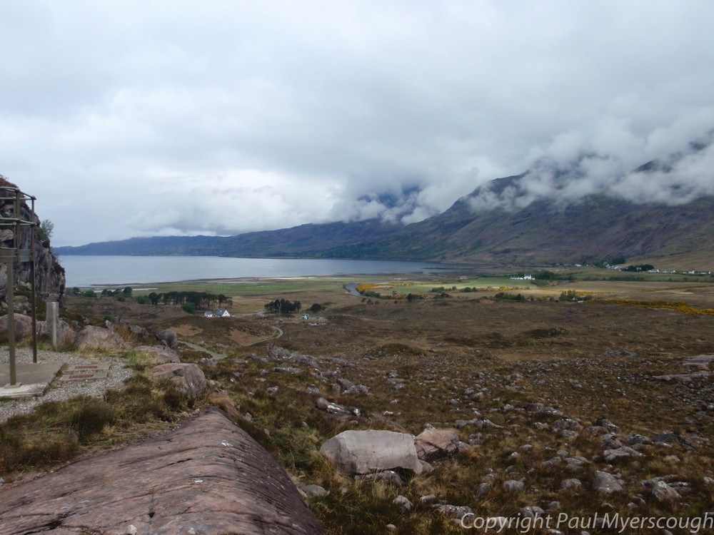
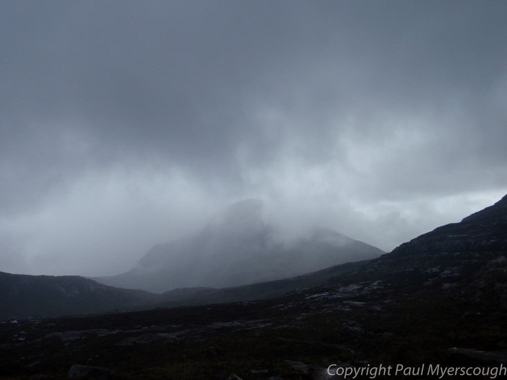
The route up from Annat starts with great views of Torridon and the loch beyond. But soon the rising path turns towards the south and suddenly you are immersed in the wild Scottish mountain landscape. Probably pretty in sunshine, I was not to see this view as the rain began to fall and as I changed to waterproofs, the vista towards Maol Chean-deargh was dark and foreboding.
The route up from Annat starts with great views of Torridon and the loch beyond. But soon the rising path turns towards the south and suddenly you are immersed in the wild Scottish mountain landscape. Probably pretty in sunshine, I was not to see this view as the rain began to fall and as I changed to waterproofs, the vista towards Maol Chean-deargh was dark and foreboding.
 |
| Maol Chean-deargh |
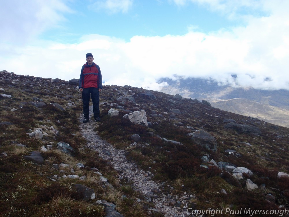
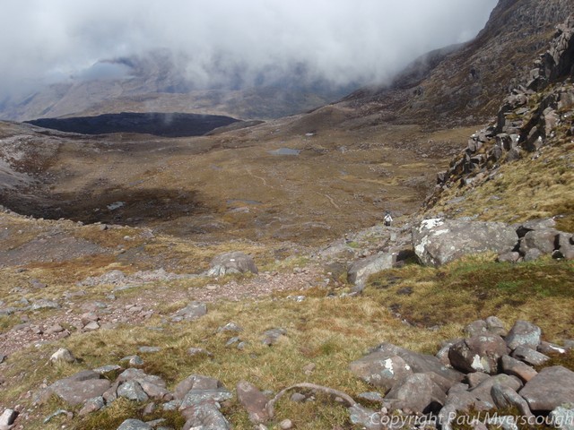
A clear path negotiates a route between lochans in the
high valley and over first one bealach, then another to reach neighbouring Coire
Lair.
 |
| path near coire grannda |
 |
| ridge to Sgorr Ruadh |
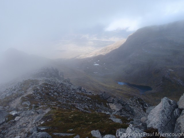
By now the rain had stopped and I followed my plan to
join the NW ridge to Sgorr Ruadh. This route shows no path on the map but, on
the ground, there are tracks to follow to the rocky and narrow ridge where an
easy scramble leads to the top. On the other side of the summit cairn grass
slopes lead down towards the base of Fuar Tholl.
 |
| Sgorr Ruadh Summit looking N and E |
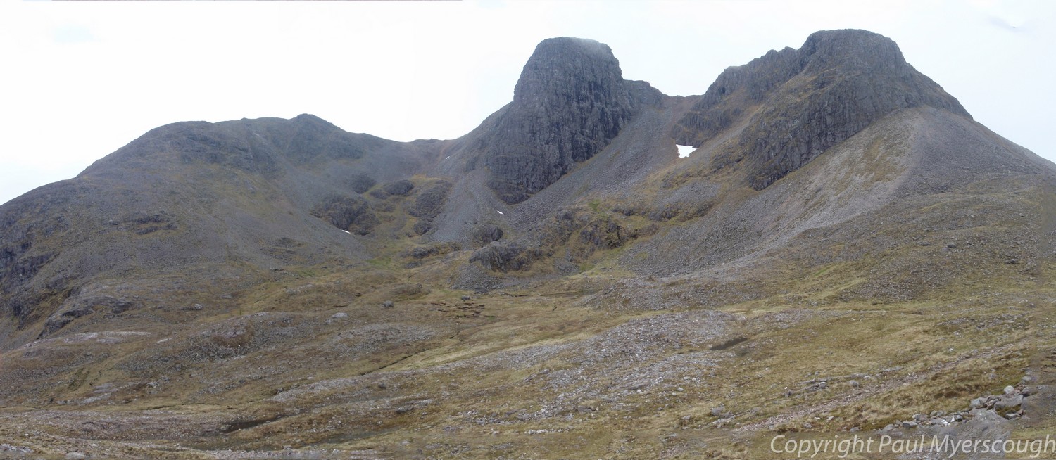
From any angle Fuar Tholl looks forbidding. A dark
craggie buttress dominates the north side. But beside this there is a gap in the
its defences and a steep haul up the corrie brings you to the summit ridge with
the highest point off to the left.
 |
| Fuar Tholl from Sgorr Ruadh |
A
good stalkers' path leads across the foreground of this picture, down eastwards to a crossing point for the River Lair over
which there's the path down to Achnashellach station. It was here I found a few
late starters en route from Torridon including Ken Stimson who was shouting out "Nina! Nina!". His wife had disappeared from the track some minutes earlier while they had a
short break. Thinking she could have fallen and hit
her head I stopped and spent 30 minutes or so searching the hillside with him, until she appeared from the path below. She had walked on ahead and apparently
did not hear him calling out. I left them with their separate views on what had
happened!
The station is a little way back from the road and after walking the 4km or so on tarmac to reach the other side of Craig I can recommend postponing this as long as possible. The map shows some tracks in the forest north of the road which may be worth following.
My plan was to reach open country along Allt a' Chonais, but after 10 hours walking I was happy to find a small clearing, out of sight of the development work for a power project, in the woods near Sloc Mor.
For a slide-show of pictures from this walk look here.


That's a great first day, Paul.
ReplyDeleteI did this route in '98 but when I looked at Fuar Tholl from Sgorr Ruaidh I decided to give it a miss as it looked so intimidating!
Great pictures, Sir.
:-)
Thanks Alan. Back in Montrose there were several who nominated Torridon as the best starting point on the west coast. I've a few more to try before I make my judgement! Paul
DeleteJust found your blog. Excellent. That was a long first day you did. We started Torridon and did your route except the tops and were pretty tired by the time we got to Gerry’s. The weather was a bit grim too after lunch.
ReplyDeleteYou're right Alan it was long! But such a great start moving from the remoteness of Torridon to the wild mountain landscape. The worst bit was the trek down the road. I was truly knackered when I arrived at Gerry's hoping for a soft drink or ice cream. He offered my wine or water, but then found someone's orange juice in the fridge a sip of which enabled me to stagger on to my wee spot in the woods.
Delete